NOAA
When you’re mapping a coastline, how exactly do you decide what to measure? How many nooks and crannies of shoreline do you trace? What is a coastline, anyway?
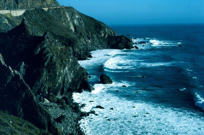
Coastlines are living, changing entities. The tide goes out, and the length of the shore changes when it comes back in. Hurricanes can reshape the entire makeup of coastal ecosystems. Climate change is drawing the water higher, completely altering what the shoreline might have been 100 years ago.
This seemingly scientific analysis can get philosophical pretty quickly. While we may trust Google Maps with our lives, maps of course can’t show us a 1:1 representation of our surroundings. They have to be scaled down in order to fit into a space that we can actually use. The ratio of measurement that the National Oceanic Atmospheric Administration uses as its official coastline measurement, for example, is1:1,200,000.


