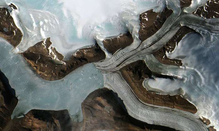
The Jungersen Glacier in Greenland on July 28. (ESA)
Measuring biodiversity on the ground takes a lot of time and a lot of money. If you’ve ever tried counting how many types of trees are in a forest or the number of animals that live there, you would find that it’s an almost insurmountable task.
But satellites could make the grunt work go away. Satellite imagery gets better and more ubiquitous every day as new satellites are launched and old ones are updated. The European Space Agency just launched the Sentinel-2 satellite at the end of June and it’s already sending back incredible images that scientists are using to monitor biodiversity.


